The Green Street Myth: Trees Do Not Tell the Whole Story
Green street design is more than trees. Learn how planting, shade and street edges can support local nature without making daily city life harder.
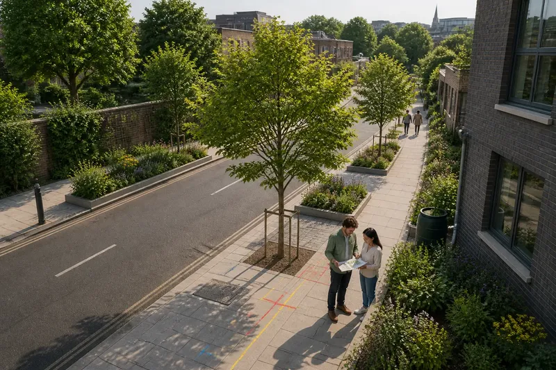
Can a street support nature without turning every pavement into a planting strip? Green street design works best when it treats trees and planting as part of the city’s wider pattern: links between habitats, buildings, drains and the spaces people already use.
Green street design starts with the urban pattern
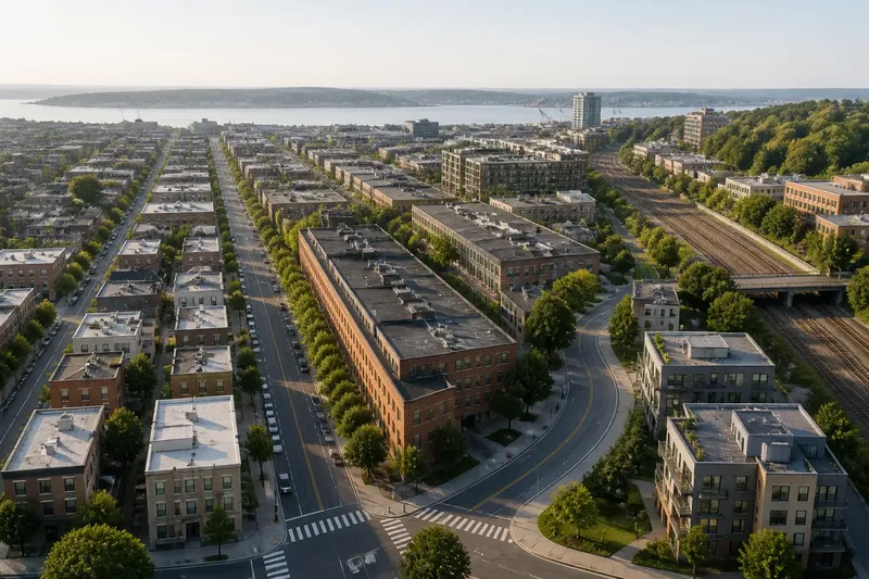
A street is not an isolated green corridor. It connects front gardens, parks, courtyards, railway edges and other fragments of habitat. A tree-lined stretch may help those places feel more connected, but its value depends on what lies at either end and what species can use the route.
Look beyond the kerb. Note existing trees, garden walls, rooflines, vacant plots and nearby green spaces. Then ask which features could form a useful link and which gaps are too large or hostile to bridge with street planting alone.
This wider view also helps avoid planting for appearance alone. A row of the same ornamental tree may create a strong visual line, yet offer less variety than a mix suited to local conditions and wildlife. The right choice depends on the street’s soil, available rooting space, utilities and maintenance arrangements.
Choose planting for its place, not just its appearance
Before proposing a tree or rain garden, identify what the site can support. Check for underground services, building foundations, existing drainage routes and the space available for roots. A planting plan that ignores these constraints can lead to conflicts or repeated alterations.
Different forms of greenery serve different purposes. Street trees can provide canopy and habitat; planted beds can support smaller plants and insects; rain gardens can collect runoff where drainage design allows. These are not interchangeable features, and each needs suitable conditions and ongoing care.
Prefer a locally appropriate mix over a decorative collection chosen from a catalogue. Ask the local parks or highways team which species cope with the area’s conditions and which are already common nearby. If the answer is uncertain, seek advice from a qualified arborist or landscape professional rather than guessing.
Connect habitat without treating every gap alike
Green links are useful when they connect suitable places, but a continuous strip is not always the answer. A busy junction, a shaded courtyard and a dry, exposed verge have different conditions. Planting should respond to those differences instead of forcing one repeated design along the whole route.
Map the likely links and breaks. Mark where trees already stand, where birds or insects might find shelter, and where planting would face heavy disturbance. A small planted pocket may help locally; it should not be described as a corridor if it does not connect to another suitable habitat.
Pay attention to edges. A gap beside a wall may be easier to improve than a narrow strip beside a heavily used entrance. Where a route must remain open for access, consider whether planting can sit outside it or whether another nearby site is a better place for habitat work.
How can a street support nature without adding clutter?
What should be checked before planting?
Check underground services, drainage, soil, access needs and the mature form of proposed trees. If any constraint is unclear, pause the design and ask the relevant council team or a qualified professional to confirm it.
Do rain gardens suit every street?
No. They need a suitable drainage arrangement, appropriate soil and a plan for overflow and maintenance. If those conditions cannot be confirmed, choose another planting approach rather than assuming a shallow bed will manage runoff.
How can planting connect to nearby green spaces?
Identify existing trees, gardens, parks and other habitat, then look for feasible links between them. If a proposed link ends at a hard boundary or unsuitable site, describe it as a local planting improvement rather than a connected corridor.
Who should maintain the planting?
Name the team or organisation responsible for watering, pruning, litter and replacement before installation. If no one accepts those tasks, reduce the scheme to planting that can be managed through an existing maintenance arrangement.
Check the proposal before it becomes a permanent feature
Use a simple site review to turn broad aims into decisions. Record what you can see, then state what should happen if a constraint appears:
- Observe a tree pit crossing a marked utility route; if services conflict, move the pit or consult the utility owner before proceeding.
- Observe a proposed rain garden with no identified overflow route; if overflow is unplanned, pause it and ask for a drainage design.
- Observe a planting bed beside a frequently used access; if the bed narrows or blocks that access, relocate it or leave the route unplanted.
- Observe that all proposed plants are the same ornamental species; if the plan lacks suitable variety, ask for locally appropriate alternatives.
- Observe a gap between the proposed planting and nearby habitat; if the link does not connect, describe it as a local feature rather than a corridor.
- Observe that no organisation is assigned maintenance; if responsibility is missing, secure an agreed arrangement or simplify the planting.
Say a neighbourhood group wants to plant a verge beside a library. Its starting information is an existing street tree, a marked utility route through the verge, a rainwater downpipe and a council crew that already maintains nearby beds; these details are invented for this example. First, the group marks the utility route and drops the proposed tree pit where it crosses that route, asking the council to check any remaining service constraints. Next, it identifies the downpipe as a possible water source but does not assume a rain garden will work; it requests a drainage review. Finally, it asks the maintenance crew whether a smaller bed of locally suitable plants fits their routine. The resulting decision is to defer the tree pit, proceed only with a bed approved for the site, and reject the rain-garden idea unless drainage arrangements are confirmed.
What is not worth the effort is drawing a continuous green line on a map before checking the ground. A neat diagram cannot resolve utility conflicts, unsuitable soil or missing maintenance. Use it to raise questions, then let site conditions shape the answer.
Green street design should fit the city around it
Judge green street design by how well it connects with nearby habitats and works within the street’s actual constraints. Trees may be central to one stretch; elsewhere, smaller planting or a better link to an existing park may make more sense.
When reviewing a proposal, trace each planted feature to its setting, its intended role and the person responsible for caring for it. That last check often reveals whether an attractive drawing can become a dependable part of the city.